Tennis Court site
Located in Victory Park Traralgon

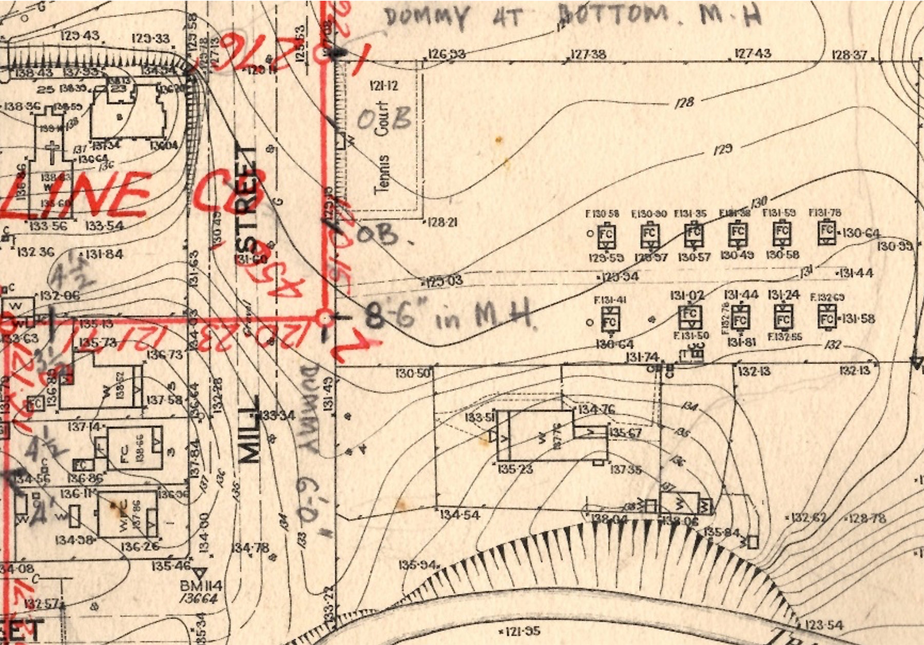
In 1913 T. H. Waite, the owner of the land now called Victory Park, donated sufficient land to the Methodist Church (of which he was a member) for a Tennis Court. This area is clearly visible on the Sewage Plan of 1939 directly opposite the Methodist Church and Mill Street between. A few of the young men of the Methodist Young People’s Union (MYPU) set about levelling and fencing the site ready for play.
Mill Street became part of the Princes Highway in the 1980’s when the highway was re-routed away from Franklin Street – the centre of town. The Highway diversion also involved the diversion of the Traralgon Creek. Original path of creek can be seen at the bottom of the plan.
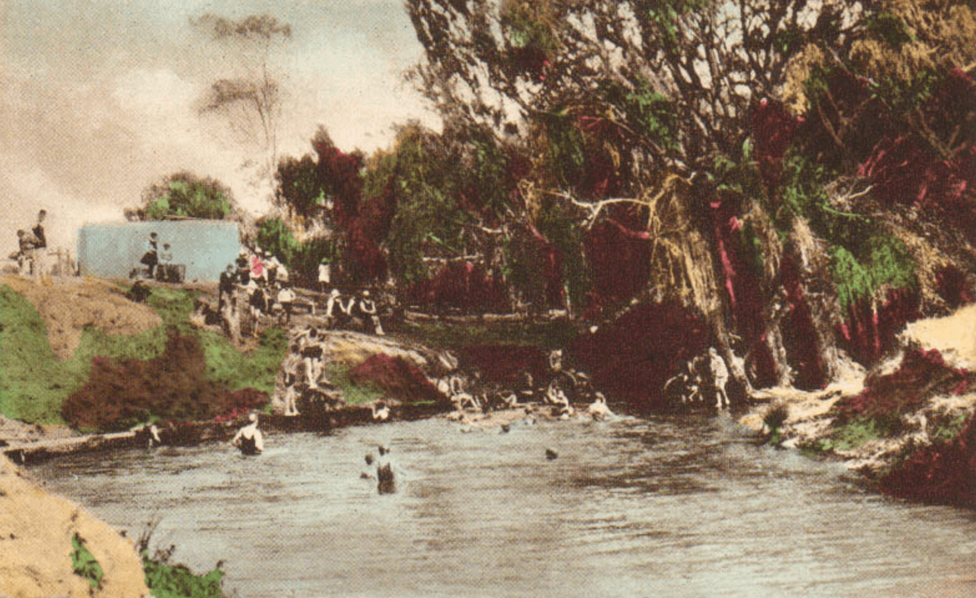
Tennis was not the only sporting/recreational activity that has been associated with the Victory Park area. Swimming was a most enjoyable past-time in the creek. One favoured ‘hole’ was near the long bridge another behind the Homestead which was known as “Christensen’s Pool”.

Another waterway activity was fishing. In recent times the West Gippsland Catchment Management Authority (WGCMA) has installed several platforms to allow fishing to continue in a safe manner. A walk along the creek bank (west??) you will find these platforms.
In the 1950’s the area was used as the home ground of the Traralgon Rovers Women’s Hockey Club [is this accurate??]
The Small-Bore Rifle Club had their club rooms at Victory Park. [when built etc???] cannot find info!
In the early days of settlement water from the creek was used as a supplementary water supply when the rain water tanks of the residents ran dry. A Pump was installed near the long bridge to assist the residents to access the water in 1876.
(Ref. W. West’s ‘Early Municipal History’ p. 20 & R. M. Henderson’s ‘Harking Back.’ 1942, p. 11; TDHS files)
